Marine invertebrates
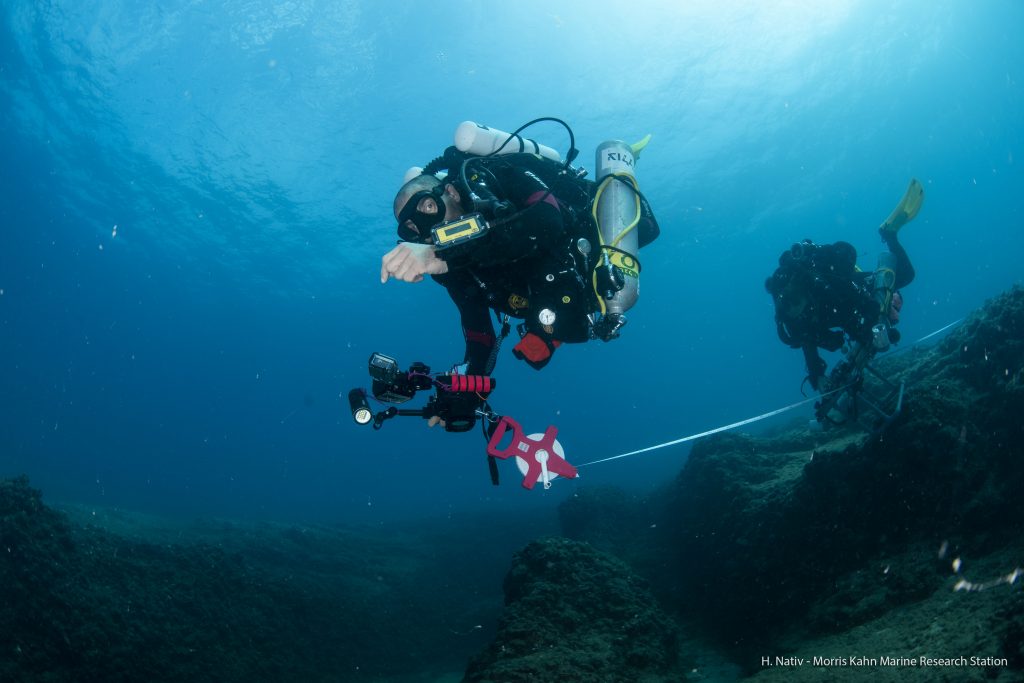
Photo survey
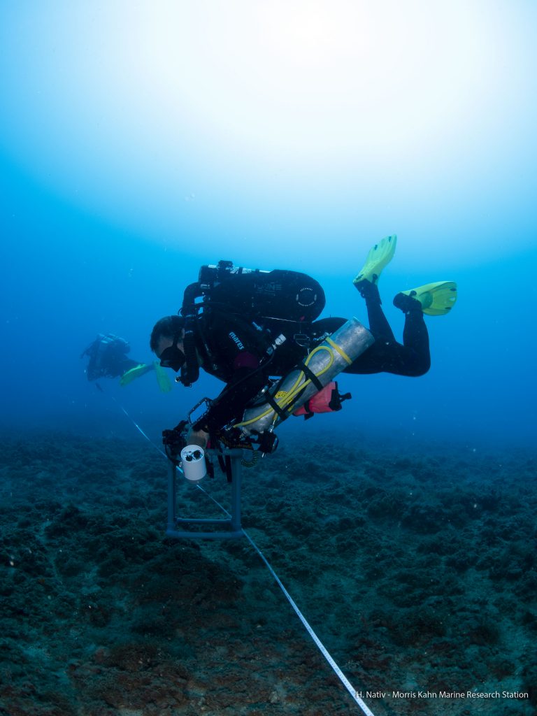
We collect photo-quadrats (25 cm2) which are taken every 2 meters along a 25 meter transect line. We are conducting 4 transects at each site. The photos are taken with Hi-resolution (~45 Mega Pixel) camera with 2 external strobes. All photos are uploaded to the Coralnet website for analysis and can be reached at the source called “Israeli monitoring program” for further analysis or else.
We utilize a stratified random annotation point generator – 4 rows x 4 columns of cells, 1 point per cell, for a total of 16 points per quadrat. The photos are automatically annotated regarding substrate coverage, functional grouping, and taxa. Regarding taxa, if the confidence level of machine recognition is higher than 90%, it is automatically recorded. The remaining points are analyzed and manually entered. The source photos and point data is open to the public at CoralnNet.
Present/Absent survey
Due to the limitation of the method, we completed our survey with a 10 min video survey where we noted each sessile invertebrate once regardless of its coverage. This gives us a more complete species list per monitored site.
Invertebrates survey
The rocky reef habitat of Israeli coastline is rich and diverse, and abundant in marine resources. It functions as a stable habitat to algae, invertebrates, and fish.
We initiated a long-term ecological research (LTER) program on the Mediterranean rocky reefs in 2014 and established a methodical working method since 2015. We started the reefs of Achziv, Naharia, and Sdot Yam at three different depth levels (10, 25 and 45 meters), and later on in 2016 we stopped collecting data on Naharia 10 &25 meters however we started collecting data on Ashdod and Ashkelon at 30 meters depth. We collect community and coverage data on invertebrates and algae. We intend to follow changes in space and time at our coastline. We hope that this data, collected intensivly, will encourage researchers to study this habitat and serve as a good baseline for further research, later reflected with enhanced knowledge of the marine ecosystem and effective marine policy in Israel.
Reference:
If you find the data useful and use it for presentation or else, please credit us with a link to our site as follows:
Data from the Morris Kahn Marine Research Station: https://med-lter.haifa.ac.il/
Contact us
For more information, please contact: hnativ@univ.haifa.ac.il